
 EN
EN
 ar
ar bg
bg hr
hr cs
cs da
da nl
nl fi
fi fr
fr de
de el
el hi
hi it
it ko
ko no
no pl
pl pt
pt ro
ro ru
ru es
es sv
sv tl
tl iw
iw id
id lv
lv lt
lt sr
sr sk
sk sl
sl uk
uk vi
vi et
et hu
hu th
th tr
tr fa
fa ms
ms hy
hy ka
ka ur
ur bn
bn mn
mn ta
ta kk
kk uz
uz ku
ku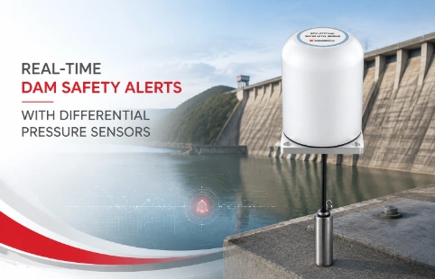
Real-Time Dam Safety Alerts with Differential Pressure Water Level Sensors
Key Takeaways An alert chain needs more than a sensor: define field in...

Omnidirectional Displacement Meter for Field Monitoring
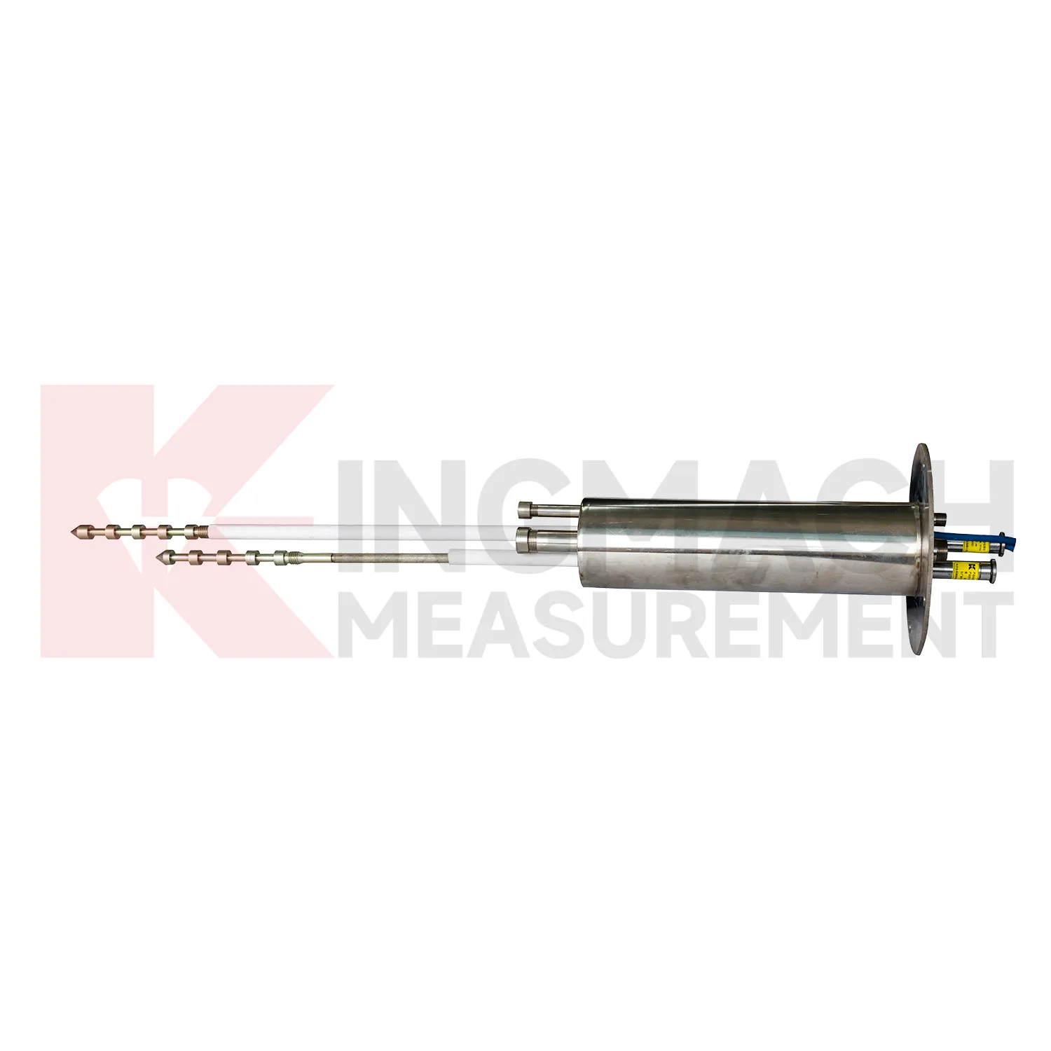
When a slope starts to creep or a tunnel lining deforms, movement rarely happens along a single axis. An omnidirectional displacement meter captures the full picture—monitoring displacement in two or three dimensions from a single borehole. Kingmach has supplied these instruments to geotechnical and structural monitoring projects where simultaneous X, Y, and Z displacement data matters. The design integrates multiple sensing elements into one probe, reducing the number of boreholes needed and simplifying installation. This approach helps engineers track deformation vectors more accurately, whether they are watching a landslide, checking excavation-induced settlement, or assessing structural health. The data helps distinguish between uniform settlement and differential movement that might spell trouble.
Technical Detail
Kingmach positions its omnidirectional displacement meters as practical tools for everyday monitoring tasks. The probes use proven sensor technologies—typically MEMS accelerometers and magnetometers arranged along the instrument string—to resolve tilt and azimuth at each measurement point. From these readings, the system computes the 3D profile of the borehole over time. This method avoids the complexity of separate inclinometer and extensometer installations. Field crews often appreciate that one setup yields all the displacement components. Common sensor diameters fit standard inclinometer casing, and the readout units are compatible with manual or automated data collection. Cable connections use ruggedized connectors that stand up to wet, dusty conditions. Kingmach keeps the electronics simple: no moving parts inside the probe, low power consumption, and digital output that interfaces with most dataloggers. Custom segment lengths and measurement ranges are available for projects that need them. The meters have been used in landslide early warning networks, metro construction monitoring, and dam deformation studies. In these applications, the ability to detect subtle vector changes over weeks or months often matters more than absolute accuracy on day one. Kingmach support teams help with initial setup and calibration checks, but the emphasis is on instruments that keep running with minimal intervention.
News
Key Takeaways An alert chain needs more than a sensor: define field in...
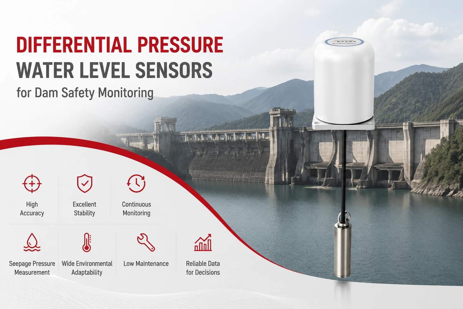
Key Takeaways The strongest fit is usually a confined, submerged, or s...
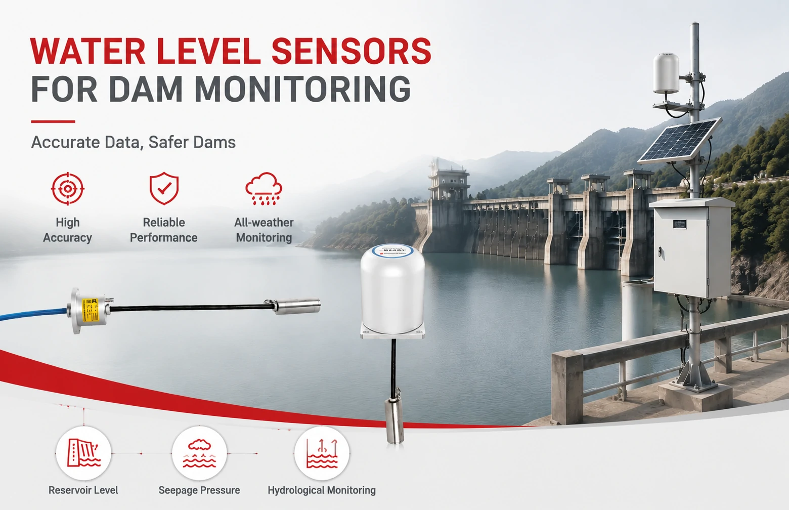
Kingmach Water Level Sensors for Dam Monitoring: A Buyer's Guide to Differential Pre...
Products
Smart Multipoint Displacement Meter JMDL-31XXAT
View Details
FAQ
A traditional inclinometer measures tilt and calculates lateral displacement along two axes (A and B). An omnidirectional meter adds a magnetometer or gyro to track azimuth, so it can resolve the true 3D displacement vector. This means you get not only how much the ground moved sideways but also in which direction and, when combined with depth, how the entire column has shifted vertically and horizontally.
Ranges vary by model, but typical configurations cover ±30° from vertical across the full sensor string length. Accuracy depends on the sensor type: MEMS-based probes commonly achieve 0.01° resolution with repeatability around ±0.05°. For absolute azimuth, magnetic-based systems usually stay within ±2° to ±5° in clean environments. Always check the specific datasheet for the probe you plan to use, as performance can differ between manufacturers.
Yes, the probe and cable are designed to remain in the borehole for months or years. Many users grout the casing in place and leave the instrument string inside, connected to an automatic datalogger. The electronics are sealed against moisture, and the low power draw allows battery or solar operation. Periodic manual readings with an indicator are also an option if you prefer walk-by monitoring.
The raw output is typically a series of tilt and azimuth readings for each sensor segment. Companion software then calculates the cumulative displacement profile—how much each point has moved in 3D space since the baseline reading. Most systems export data in CSV or directly to platforms like Geokon’s logger software. Kingmach provides its own basic analysis tool, but the output is straightforward enough that many users write their own post-processing scripts.
Custom configurations are common. You can specify the number of sensors, the distance between them, and even the cable length. This flexibility lets you target specific zones, like a suspected shear band at a certain depth, without instrumenting the entire borehole. Kingmach’s engineering team works with your project specs to build the string accordingly.
Share your product type, target capacity, and application requirements. Our team can review the details and recommend a practical next step.
If you are interested in our products or want to become our partner.
Please leave your contact information, our team will contact you as soon as possible.
Mail: [email protected]
Contact Us: +8613808434127
Address: No. 188 Tongzipo West Rd, Changsha, Hunan, China