
 EN
EN
 ar
ar bg
bg hr
hr cs
cs da
da nl
nl fi
fi fr
fr de
de el
el hi
hi it
it ko
ko no
no pl
pl pt
pt ro
ro ru
ru es
es sv
sv tl
tl iw
iw id
id lv
lv lt
lt sr
sr sk
sk sl
sl uk
uk vi
vi et
et hu
hu th
th tr
tr fa
fa ms
ms hy
hy ka
ka ur
ur bn
bn mn
mn ta
ta kk
kk uz
uz ku
ku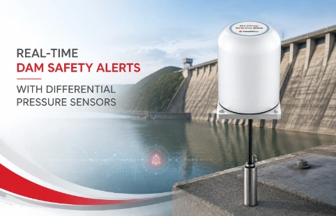
Real-Time Dam Safety Alerts with Differential Pressure Water Level Sensors
Key Takeaways An alert chain needs more than a sensor: define field in...

Digital Inclinometer: Precision Tilt Monitoring
A retaining wall on a highway job started showing unexpected movement last year. The old manual readings weren't catching the trend fast enough. Switching to a digital inclinometer changed the picture. Instead of waiting days for data, the crew got real-time tilt numbers right at the borehole. That's the kind of shift more geotechnical teams are making. Kingmach has been part of this transition, making instruments that balance practical field durability with measurement accuracy. Our digital inclinometers use MEMS sensors and come with straightforward readout units that don't require a long training session. They're built for people who spend more time on site than in the office, handling slope monitoring, excavation checks, and dam safety work. The range covers different probe lengths and cable depths, and we often adjust setups for specific project specs. It's not about high-end lab precision at a premium price. It's about getting reliable tilt data without overcomplicating the workflow.
Technical Detail
Digital inclinometers have taken over from traditional slope indicators in many geotechnical monitoring setups. The reason is simple: faster data, less human error, and the ability to store and review profiles digitally. At Kingmach, we manufacture a range of these instruments designed for everyday use in soil and rock applications. Unlike older analog units that require manual recording and transcription, a digital inclinometer captures readings directly from a MEMS tilt sensor inside the probe. Typical accuracy lands around ±0.01° to ±0.02°, which covers most slope stability, landslide, and deep excavation monitoring needs. Our probes are built with stainless steel bodies and sealed to IP68, so they survive being lowered into wet boreholes repeatedly. The cables have Kevlar reinforcement and depth markings every half meter. The readout unit we supply runs on a rechargeable battery that lasts a full workday, displaying angle, deviation, and cumulative displacement in real time. Data exports as CSV or can plug into common geotechnical software. Customization is a big part of what we do. Projects with unusual casing diameters, deeper access requirements, or wireless transmission preferences often get tailored packages. We ship worldwide and keep technical support available by call or email. For contractors and consultants looking for a reliable yet budget-friendly option, the feedback we get is that these instruments hold up well in the field and don't require constant recalibration.
News
Key Takeaways An alert chain needs more than a sensor: define field in...
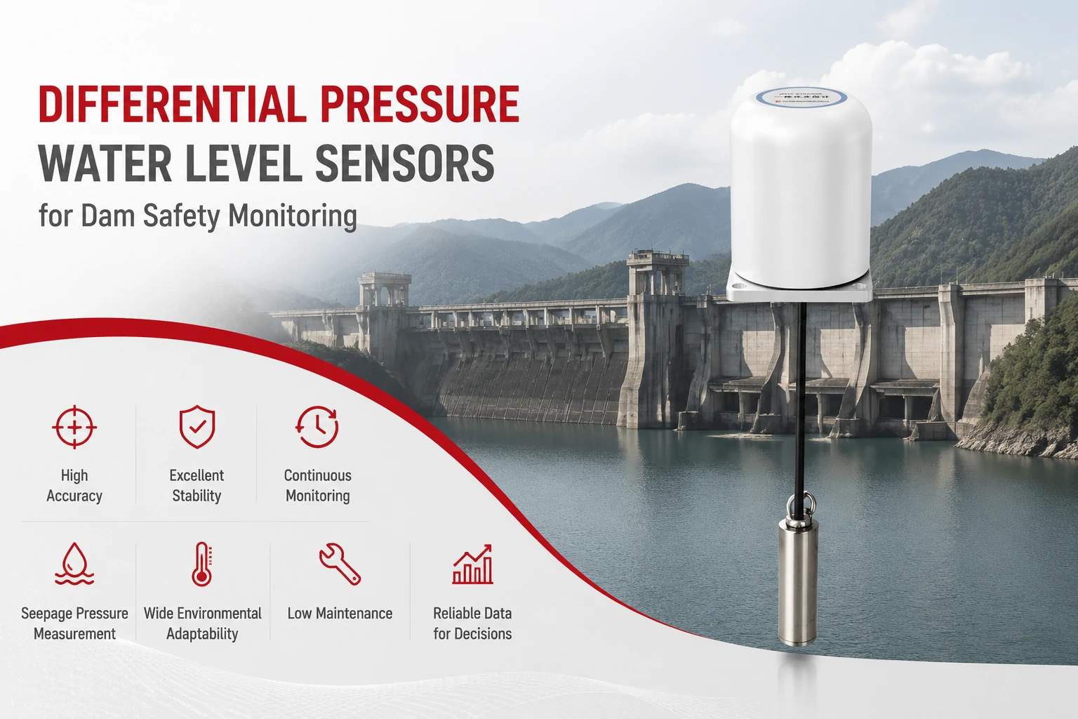
Key Takeaways The strongest fit is usually a confined, submerged, or s...
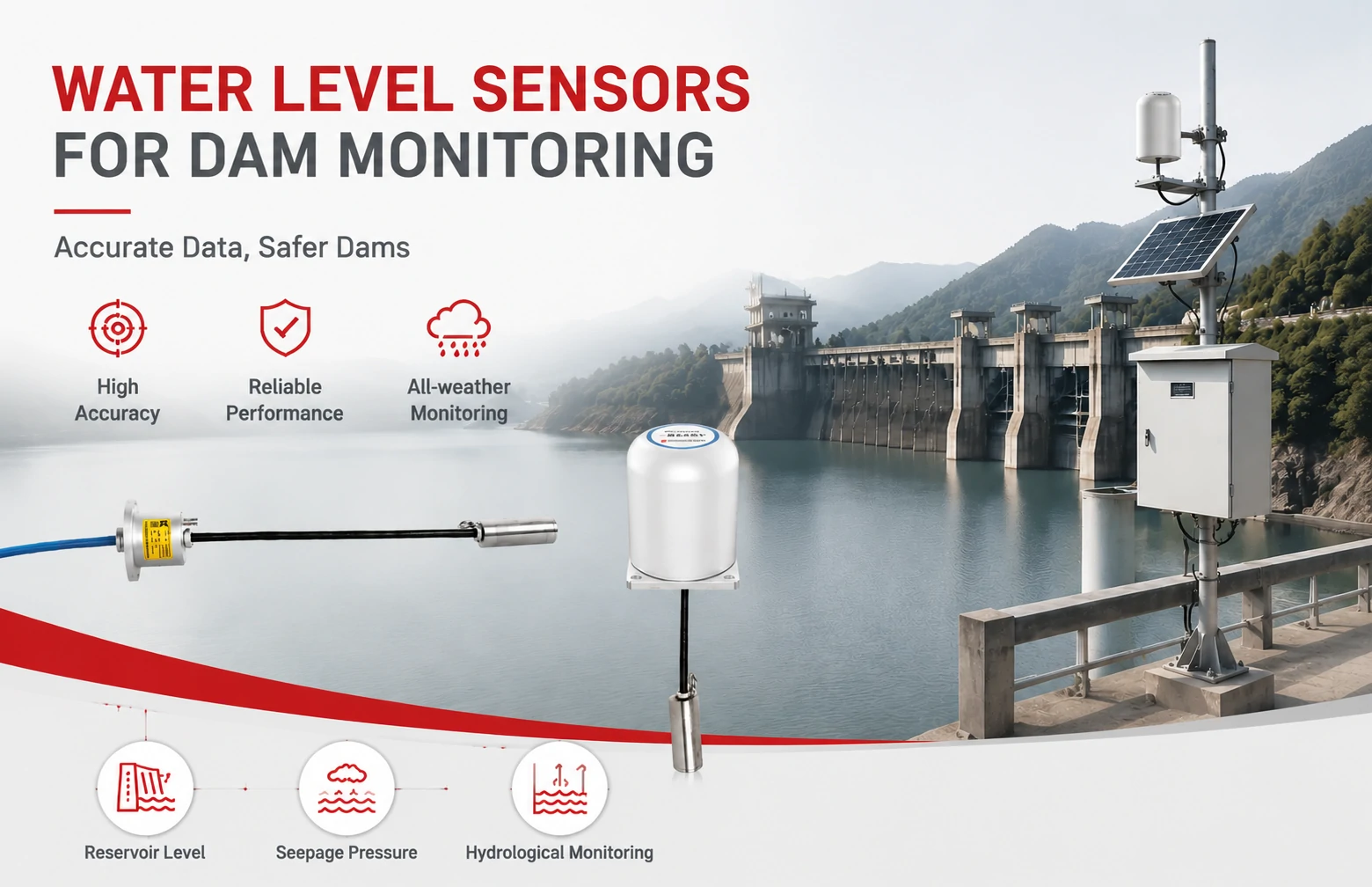
Kingmach Water Level Sensors for Dam Monitoring: A Buyer's Guide to Differential Pre...
Products
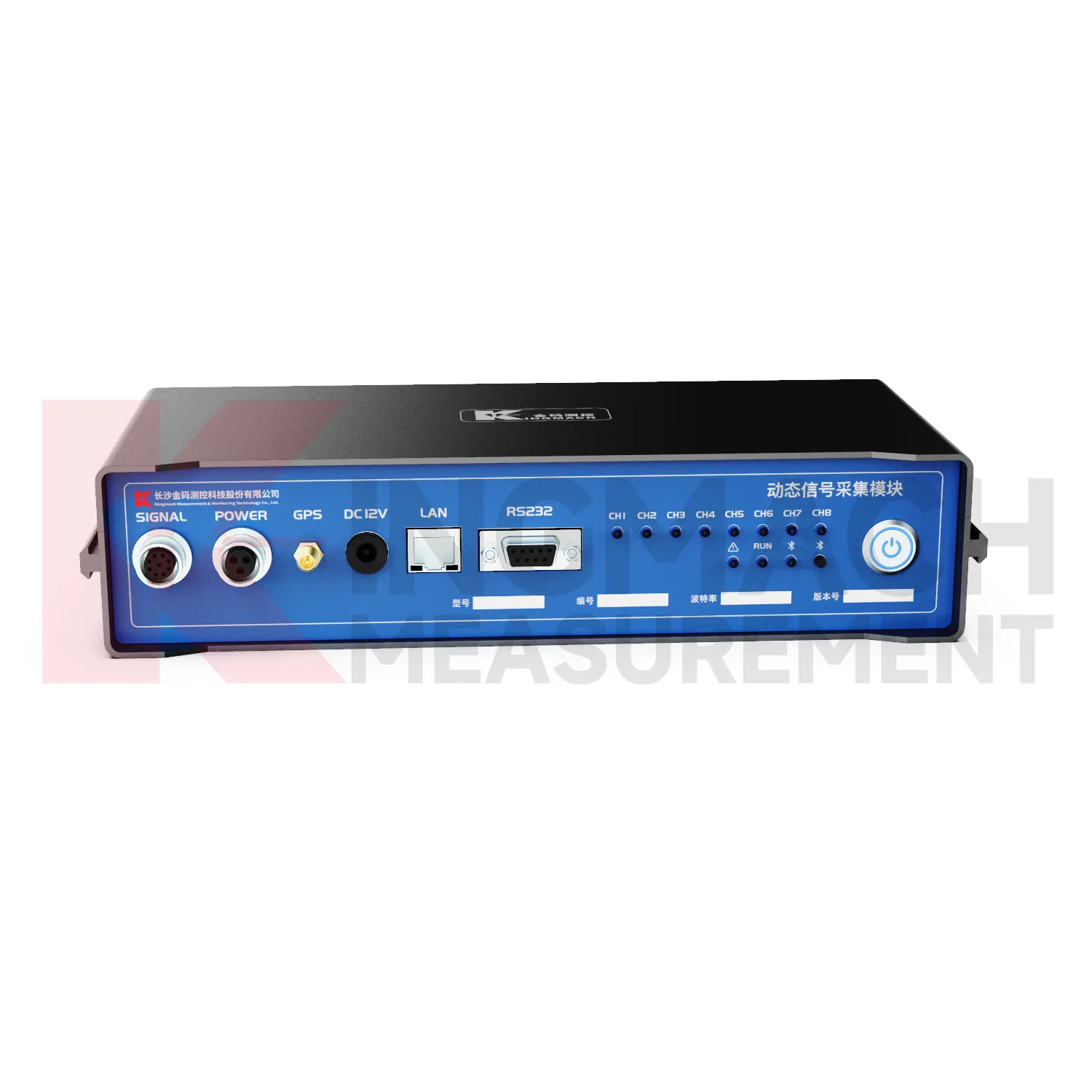
Dynamic signal acquisition module JMYD-1008XC
View Details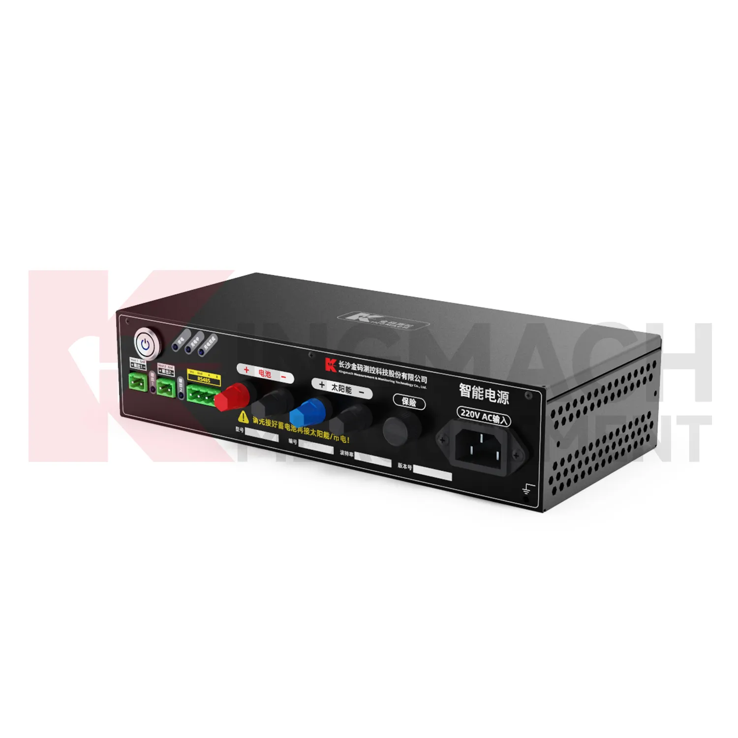
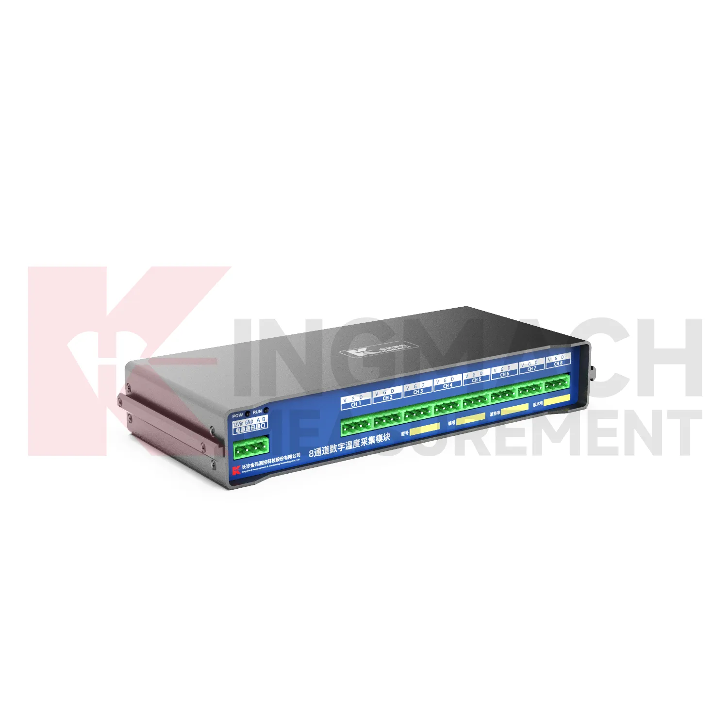
8-Channel Digital Temperature Acquisition ModuleJMWT-8DTH
View DetailsFAQ
A digital inclinometer uses a MEMS sensor to measure tilt electronically and sends data directly to a readout unit. Traditional probes rely on a pendulum and analog signal, which means manual reading and recording. Digital ones reduce human error, speed up measurement, and let you store entire survey profiles without paper.
Keep the probe clean and dry after use, check the O-rings for wear before each survey job, and recalibrate roughly once a year. The cable should be inspected for cuts. Our support team can guide you through firmware updates if needed, but most units run without much intervention between projects.
Yes, the probe works in both orientations. For horizontal installations, you just switch the wheel assembly orientation. The readout unit has a setting to adjust for the measurement direction. Some users keep two sets of wheel assemblies to save time on site.
Standard cable lengths are 50 m, 100 m, and 150 m. We can supply longer cables on request, but beyond 200 m you start losing signal strength and need custom conditioning. Most slope and excavation monitoring is within 100 m, so that's the most common option.
Share your product type, target capacity, and application requirements. Our team can review the details and recommend a practical next step.
If you are interested in our products or want to become our partner.
Please leave your contact information, our team will contact you as soon as possible.
Mail: [email protected]
Contact Us: +8613808434127
Address: No. 188 Tongzipo West Rd, Changsha, Hunan, China