
 EN
EN
 ar
ar bg
bg hr
hr cs
cs da
da nl
nl fi
fi fr
fr de
de el
el hi
hi it
it ko
ko no
no pl
pl pt
pt ro
ro ru
ru es
es sv
sv tl
tl iw
iw id
id lv
lv lt
lt sr
sr sk
sk sl
sl uk
uk vi
vi et
et hu
hu th
th tr
tr fa
fa ms
ms hy
hy ka
ka ur
ur bn
bn mn
mn ta
ta kk
kk uz
uz ku
ku
Integrated GNSS
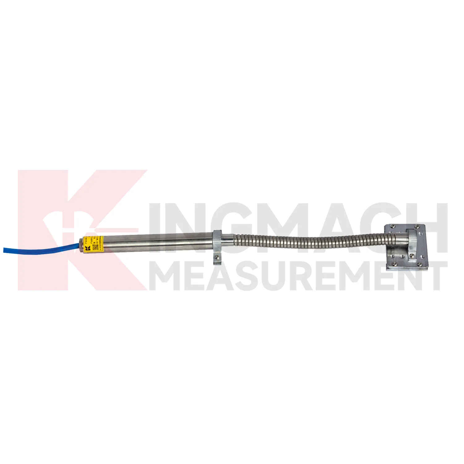
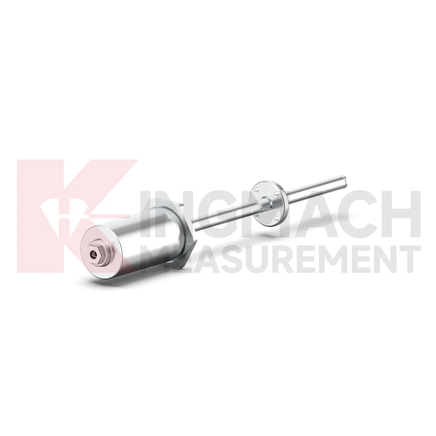
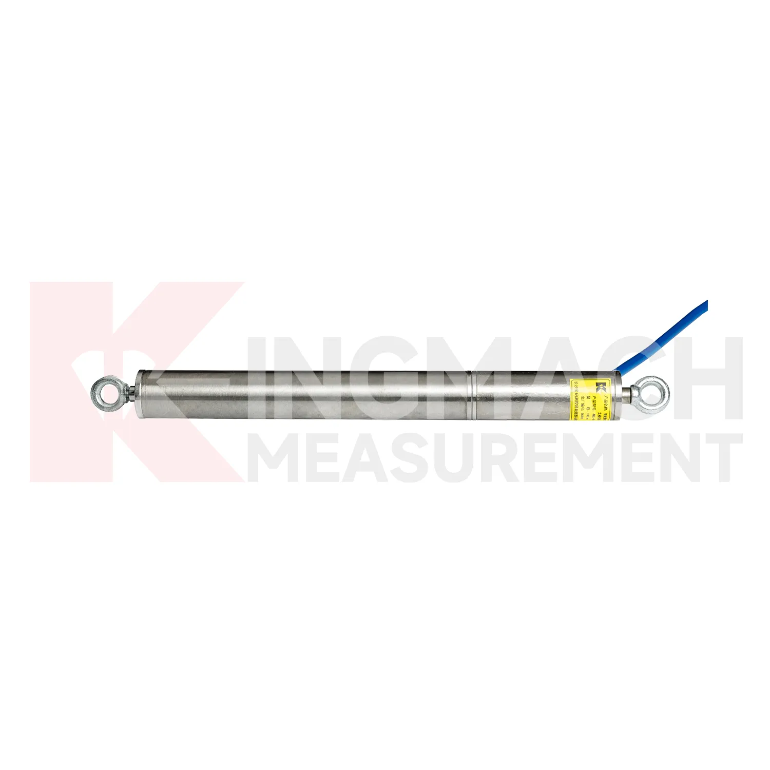
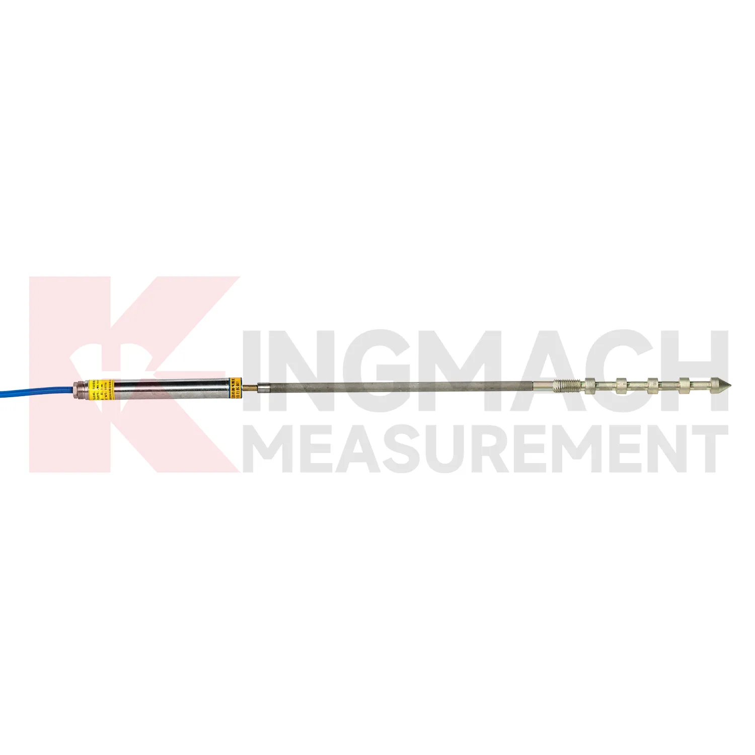
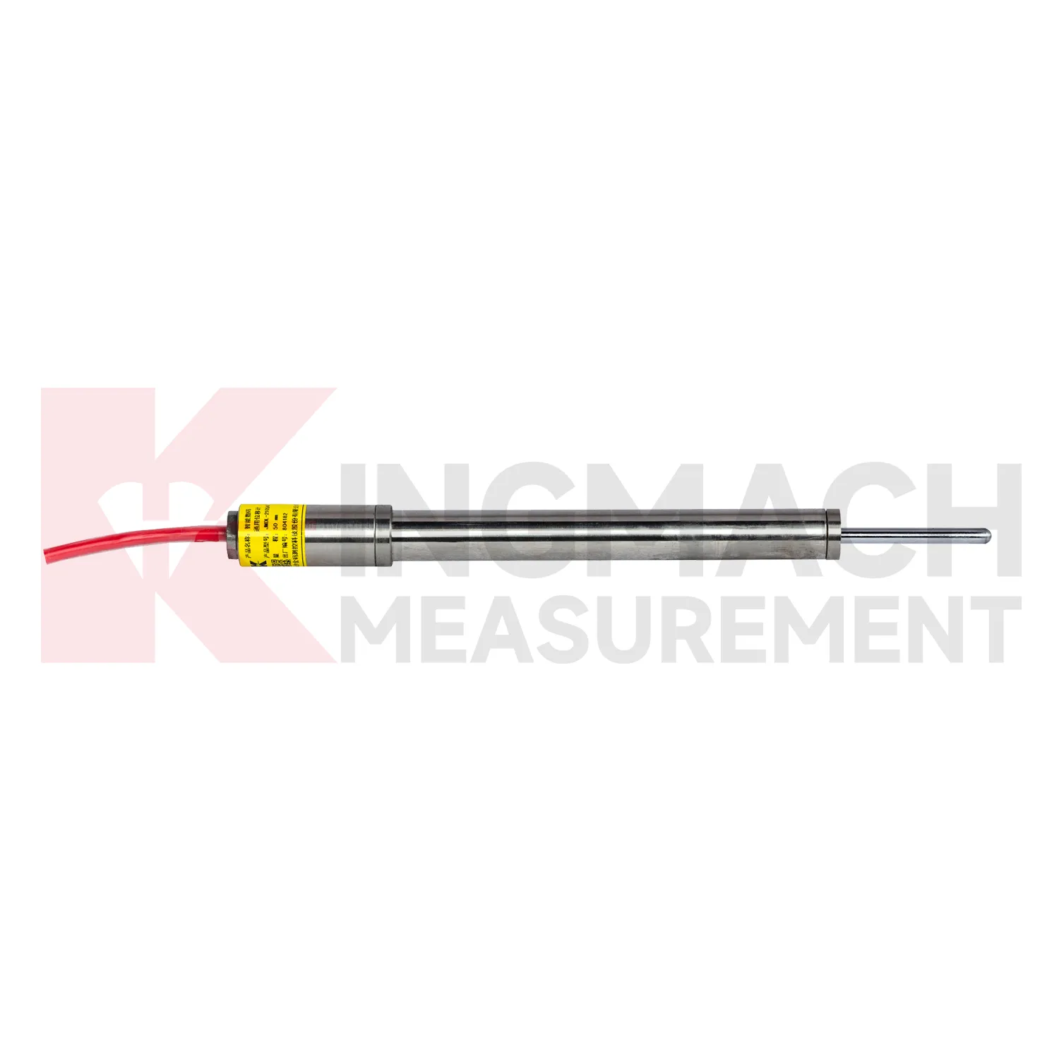
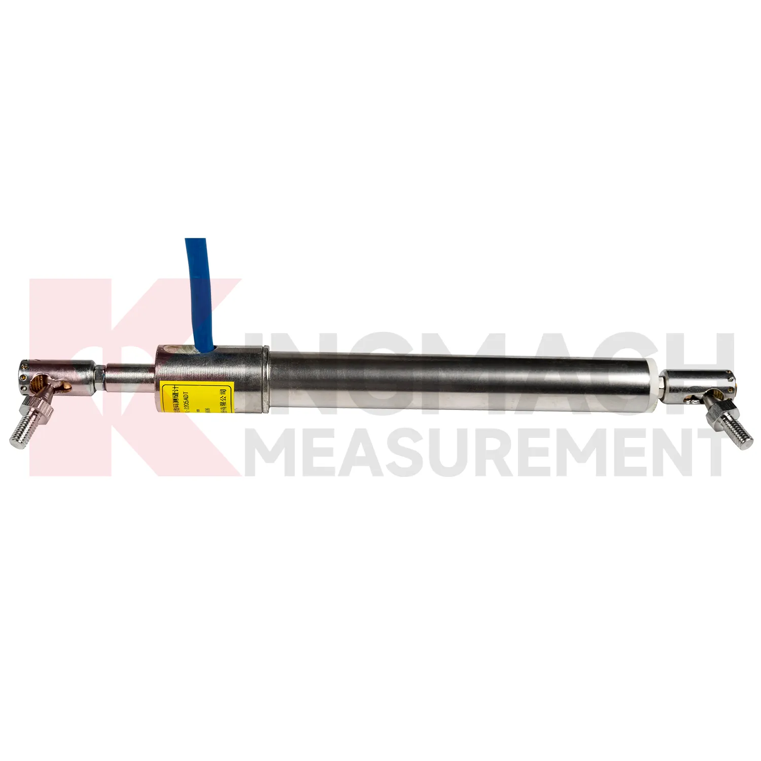
Kingmach Integrated GNSS include the JMDL-49XXAT Smart Formwork Displacement Meter, also described as a steel wire displacement meter for high-formwork support, horizontal movement of formwork steel pipes, slope sliding, bridge abutments, tunnel portals, dams, and railway subgrades. Listed ranges include 50 mm, 100 mm, and 200 mm, with 0.01 mm sensitivity and 0.5%FS accuracy. The product uses patented inductive magnetic flux modulation technology, non-contact measurement, 20-point calibration curve correction, a built-in memory chip, and digital detection. It stores model, serial number, calibration coefficients, time, temperature, displacement values, and other records, with up to 600 stored data sets. The construction-grade details are important: product information lists IP68 protection, a 30-year service life, and a temperature range from -40 degrees Celsius to +100 degrees Celsius with plus or minus 0.5 degrees Celsius temperature accuracy. These features make it suitable for wet, dusty, and high-load construction environments. During project setup, the measuring point should be matched with the expected travel direction, available mounting space, cable route, and required acquisition interval. This prevents a short-range joint instrument from being used on a long-travel point, or an exposed sensor from being placed where an embedded anchor is needed. It also helps the monitoring team set a baseline that can be defended during acceptance and later maintenance review.
Application of Integrated GNSS
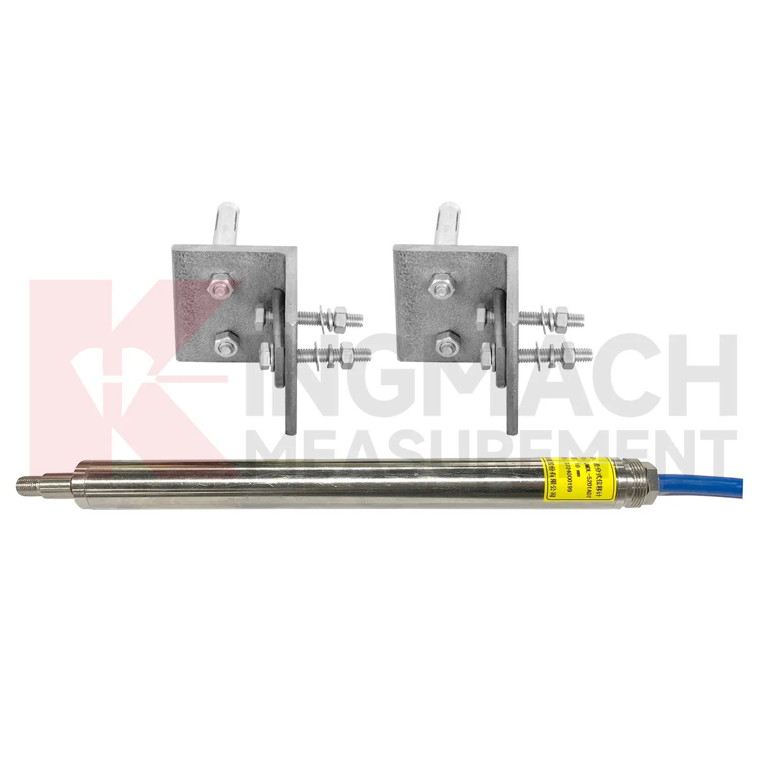
In integrated structural health monitoring, Integrated GNSS act as the movement layer inside a wider measurement network. Their role is to show where a point has shifted, how fast the shift is developing, and whether the change agrees with other instruments. Kingmach displacement products can feed digital records into acquisition units and monitoring platforms, while related Kingmach product groups provide strain, load, settlement, tilt, vibration, pore pressure, water level, rainfall, data logging, cables, and software. A practical system may use JMDL-52XXADT meters for precise joint travel, JMDL-31XXAT meters for rock layers, JMDL-24XXAT meters for buried geogrid deformation, and JMLS-22XXADT sensors for longer cable travel. The data chain should define point names, units, zero values, sampling intervals, warning grades, and inspection actions before alarms are enabled. This prevents a displacement curve from becoming an isolated chart. Instead, the reading can be checked beside force, strain, settlement, temperature, rainfall, and construction records, giving engineers a clearer basis for maintenance and warning review. During commissioning, each curve should be verified against the physical point so later reports can be trusted by site teams, designers, and owners. The same record should also note cabinet number, logger channel, cable tag, power supply, and communication route, because many long-term data problems begin outside the sensor body.
The future of Integrated GNSS
Standardized reporting will become more important for future Integrated GNSS use. Different stakeholders read movement data in different ways: site managers need fast alerts, designers need deformation patterns, owners need risk status, and maintenance teams need repeatable inspection records. Kingmach smart displacement products already provide details such as absolute displacement, relative displacement, zero-point value, temperature, model number, calibration coefficient, and stored measurements on selected models. Future reports can turn those details into clearer tables and curves: baseline date, latest reading, daily change, cumulative movement, temperature at reading, warning level, sensor status, and recommended inspection action. This will help projects avoid long exports that hide the main risk. A clear displacement report should show not only how far a point moved, but whether that movement is new, accelerating, linked with other sensors, or still within the expected range. Report formats should also keep field photos and maintenance notes close to the curve, so reviewers can understand the physical point behind the data.
Care & Maintenance of Integrated GNSS
For draw-wire Integrated GNSS, the cable path is the part that most often decides data quality. Kingmach JMLS-22XXADT wire rope sensors use a plastic-coated stainless steel cable, spool, precision rotary sensor, RS485 communication, IP67 sealing, and ranges up to 2000 mm. During installation, align the cable with the expected movement direction, keep the pull smooth, and avoid rubbing against concrete edges, steel corners, temporary supports, or moving machinery. Do not overextend the cable beyond its range, and do not let it snap back during inspection. Check the anchor point, cable coating, spool movement, connector sealing, and lightning protection after storms or heavy site work. For long-term dam, tunnel, slope, or machinery monitoring, include cable tension and cable path photos in routine maintenance records. A clean cable route gives more reliable displacement data than any later software correction. Keep the installation photo, point number, zero value, and expected movement direction with the commissioning record for later review. If a reading changes after maintenance work, inspect the base, anchor, cable, and cabinet before assuming the structure itself has moved.
Kingmach Integrated GNSS
Long-term projects need Integrated GNSS that can survive the same weather, vibration, cable pulling, and site handling as the structure itself. Kingmach designs several smart displacement products with built-in memory chips, digital detection, strong anti-interference capability, and direct display through compatible testers. The JMDL-22XXAT crack gauge stores up to 600 measurement results and covers 20 mm, 50 mm, 100 mm, and 200 mm models. The JMDL-21XXAT general-purpose model stores up to 800 records and can save time, temperature, absolute displacement, relative displacement, and zero-point values. These records matter during handover because the original baseline, later shifts, and abnormal readings can be checked without relying only on handwritten notes. For bridges, dams, tunnels, slopes, and buildings, that traceability helps maintenance teams judge whether a movement event is isolated, repeated, or linked with surrounding construction and environmental change. The point should be named on the drawing, linked with its cable route, and checked against the expected movement direction before the first automatic reading is accepted. For daily review, the reading should be compared with nearby points, recent weather, site operations, and any loading event that could explain the movement.
FAQ
Q: What are Integrated GNSS used for?
A: They measure movement such as relative displacement, crack width, expansion joint travel, bedrock deformation, rock layer movement, geogrid deformation, formwork settlement, and equipment stroke.
Q: Which Kingmach models belong to this category?
A: Common models include JMDL-21XXAT, JMDL-22XXAT, JMDL-24XXAT, JMDL-31XXAT, JMDL-32XXAT, JMDL-49XXAT, JMDL-52XXADT, JMCW-21XXADT, and JMLS-22XXADT.
Q: What range should be selected first?
A: Start from the expected movement. Short joint monitoring may need 20 mm to 100 mm, while draw-wire or equipment travel may require 500 mm to 2000 mm.
Q: Can these products support remote monitoring?
A: Yes. Several Kingmach models support digital transmission, RS485 communication, automatic acquisition, integrated testers, or unattended monitoring systems.
Q: Why is the baseline reading important?
A: All later movement is compared against the starting point. The baseline should be recorded after the sensor, bracket, anchor, cable, and structure are stable.
Reviews
Joshua Clark
We ordered a full monitoring solution including sensors and data loggers. Everything works seamlessly together. Great supplier!
Ryan Lewis
Fast delivery and excellent product quality. The accelerometers and tiltmeters are highly reliable. Strongly recommend this company.
Latest Inquiries
To protect the privacy of our buyers, only public service email domains like Gmail, Yahoo, and MSN will be displayed. Additionally, only a limited portion of the inquiry content will be shown.
Harper***@gmail.comIndia
Dear Sir, we are planning to procure a complete monitoring system including strain gauges, tiltmeter...
Evelyn***@gmail.comSouth Africa
Hi, we are a contractor working on tunnel construction and need settlement sensors and displacement ...
Related product categories
- displacement sensor
- laser displacement sensor
- displacement sensors
- linear displacement sensor
- optical displacement sensor
- wireless displacement sensor
- laser displacement sensors
- non contact displacement sensor
- cable displacement sensor
- draw wire displacement sensor
- inductive displacement sensor
- lvdt displacement sensor