
 EN
EN
 ar
ar bg
bg hr
hr cs
cs da
da nl
nl fi
fi fr
fr de
de el
el hi
hi it
it ko
ko no
no pl
pl pt
pt ro
ro ru
ru es
es sv
sv tl
tl iw
iw id
id lv
lv lt
lt sr
sr sk
sk sl
sl uk
uk vi
vi et
et hu
hu th
th tr
tr fa
fa ms
ms hy
hy ka
ka ur
ur bn
bn mn
mn ta
ta kk
kk uz
uz ku
ku
wireless tiltmeters
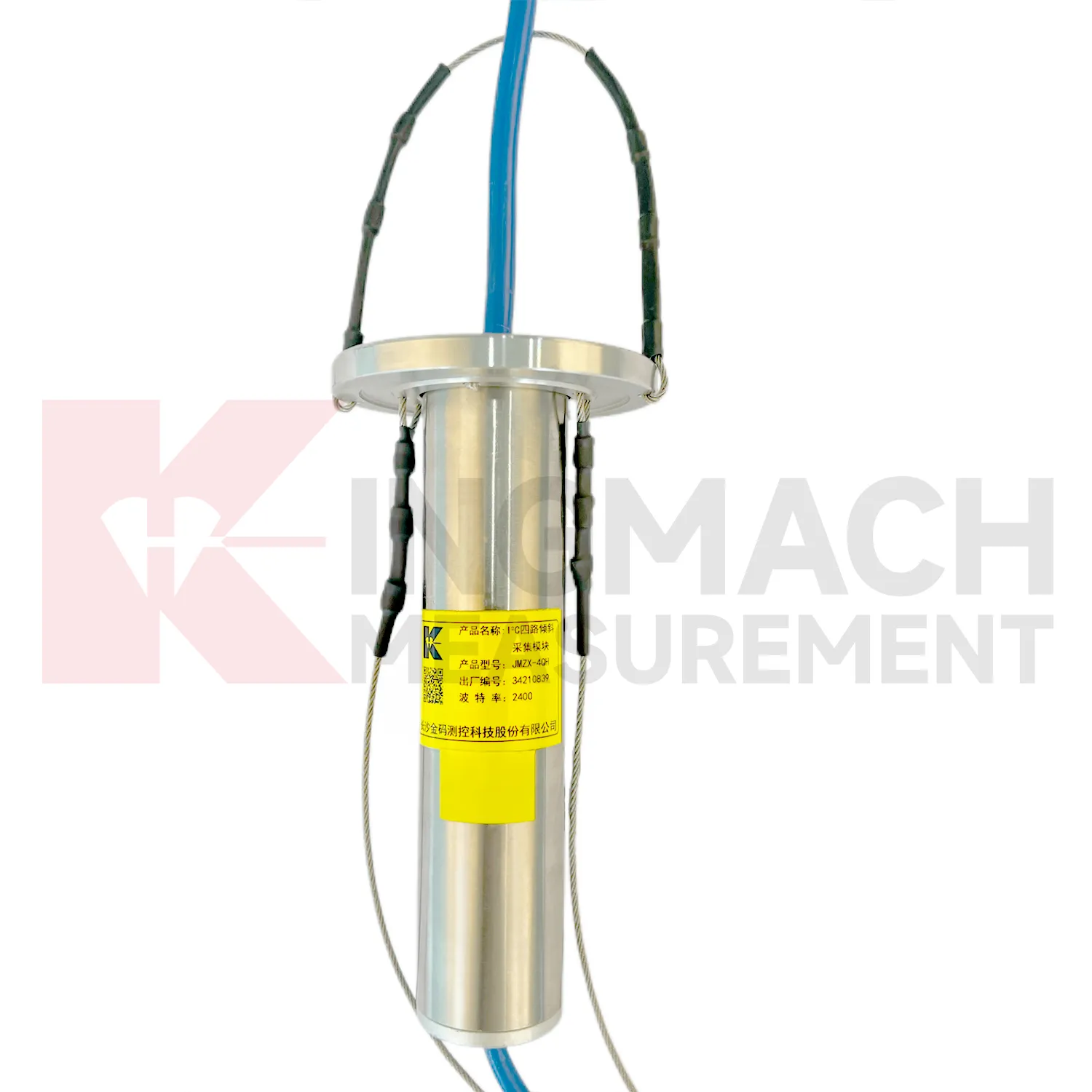
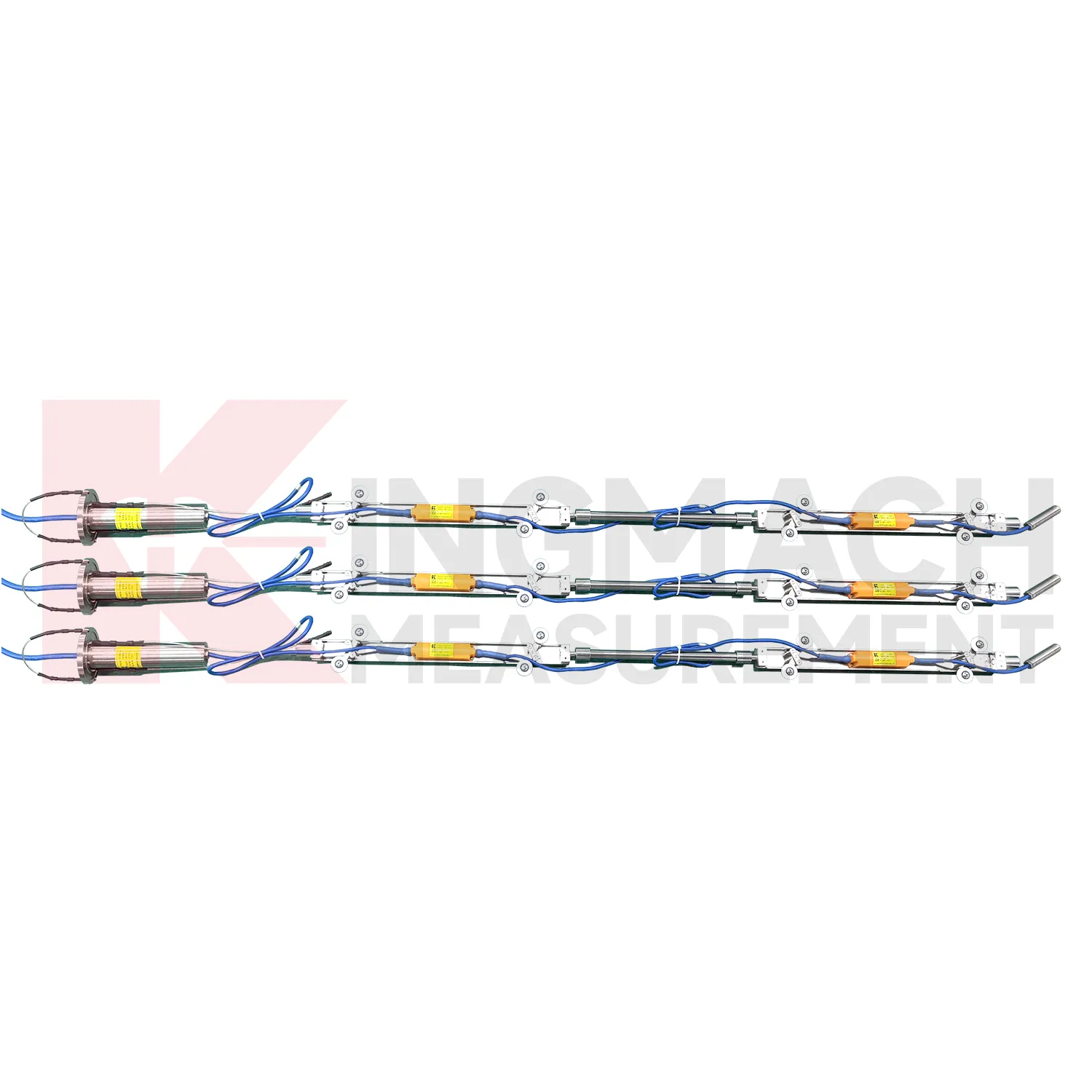
The JMQJ-7915ATS vertical in-place inclinometer system gives Kingmach wireless tiltmeters a multi-point downhole monitoring method. The system consists of a multi-point tandem inclinometer string and an orifice acquisition module. Multiple MEMS inclination sensors are electrically connected through a single cable inside the borehole, while universal joints and connecting rods arrange measuring points according to design spacing. The system can divide sensors into up to four independent communication groups, uses automatic temperature compensation, and includes electronic identifiers for automatic recognition and intelligent calculation. Published specifications include dual-axis +/-90 degrees tilt range, 0.001 degree resolution, 0.01 degree accuracy, DC 9V to 24V operating voltage, power consumption below 0.2W, single-wire uplink communication at 1200 bps, -30 degrees Celsius to +70 degrees Celsius operating temperature, 0.35 m guide wheel spacing, about 0.8 kg weight, and IP68 protection.
Application of wireless tiltmeters
Port and underground construction projects use wireless tiltmeters to follow soil movement, retaining structures, and deep displacement where surface survey alone is limited. JMZX-7100L is described for port engineering and underground construction projects, with Bluetooth communication, APP reading, large storage, and post-processing software. The sliding probe method is useful when engineers need a deformation profile along an inclinometer casing rather than one fixed surface angle. Field crews should keep casing ID, depth interval, probe orientation, reading direction, groundwater condition, and operator notes consistent. Data can then be compared with excavation, dredging, surcharge loading, pile work, or retaining wall movement. Good field discipline prevents a profile change from being confused with probe handling differences.
The future of wireless tiltmeters
Future wireless tiltmeters will make field commissioning more traceable. Many tilt problems begin with unclear axis direction, unstable mounting, wrong channel naming, poor cable protection, or missing baseline notes. Products with electronic identifiers and digital communication can reduce some of these errors, but field records still matter. Future commissioning tools may guide technicians through axis confirmation, zero reading, communication check, temperature note, photograph capture, and platform channel verification. JMQJ-7315ADS, JMQJ-7315RTU, JMQJ-7915ATS, JMZX-7100L, and JMZX-4QH each need different acceptance steps. A guided process can make the first reading more trustworthy and reduce later debate about whether a curve changed because of the site or the setup.
Care & Maintenance of wireless tiltmeters
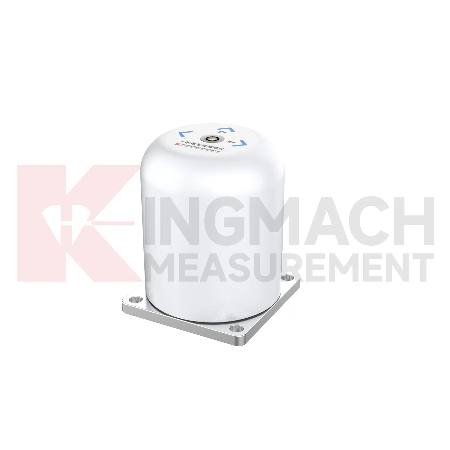
Temperature and environment checks help maintain wireless tiltmeters accuracy. JMQJ-7315ADS operates from -30 degrees Celsius to +80 degrees Celsius, JMQJ-7315RTU from -10 degrees Celsius to +55 degrees Celsius, and JMQJ-7915ATS from -30 degrees Celsius to +70 degrees Celsius. Temperature drift, condensation, direct sunlight, ice, and cabinet heat can affect readings or communication hardware. Maintenance records should note weather, enclosure condition, ventilation, shading, and nearby heat sources. If a tilt curve moves with daily temperature, compare it with structural temperature and other sensors before treating it as deformation. Environmental review does not weaken the warning; it makes the warning more credible by filtering out explainable operating effects.
Kingmach wireless tiltmeters
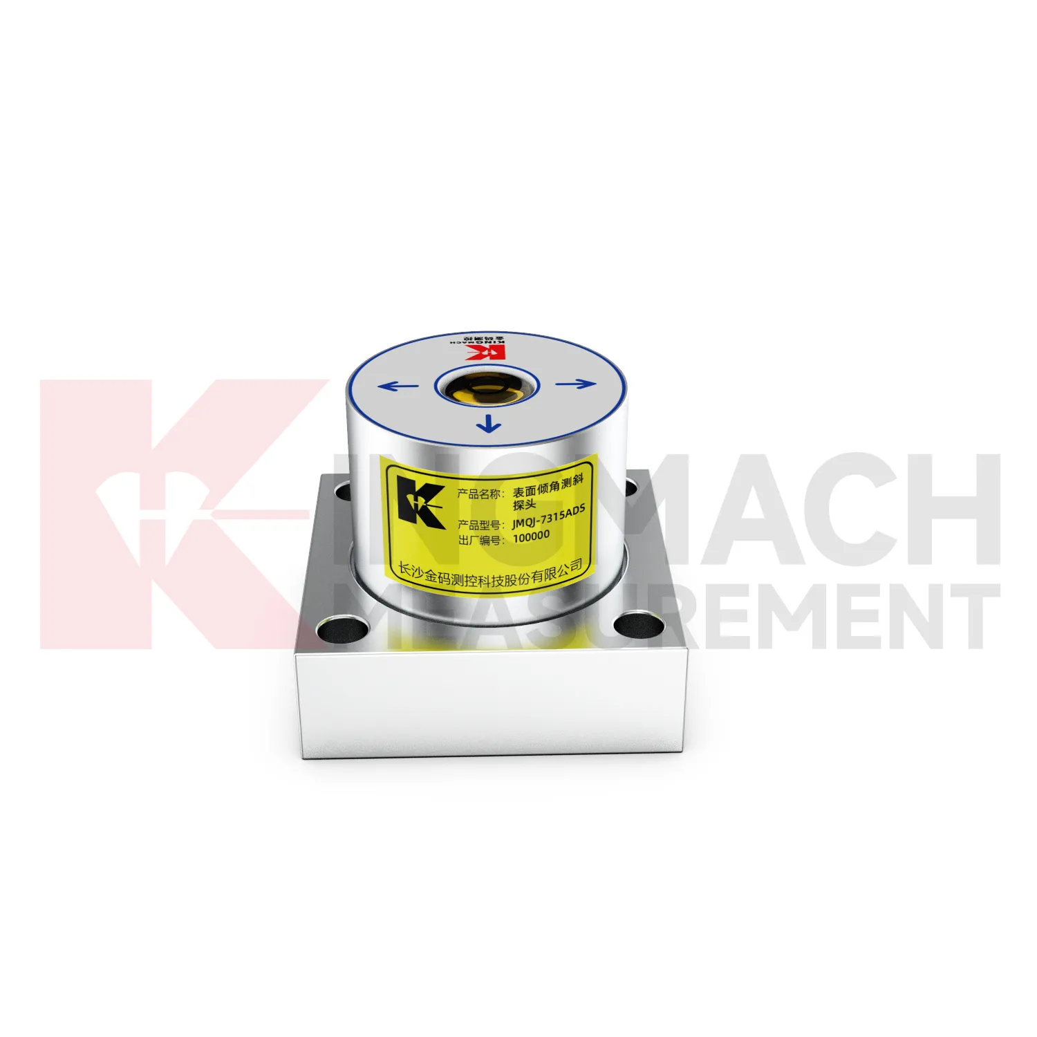
On busy construction sites, Kingmach wireless tiltmeters must survive dust, moisture, vibration, cable handling, and limited access. Product pages describe sealed waterproof and dustproof designs, MEMS sensing, differential measurement principles, and low-power operation for selected systems. JMQJ-7315ADS lists IP68 protection, DC 9V to 24V supply, RS485 output, and an operating environment from -30 degrees Celsius to +80 degrees Celsius. JMQJ-7315RTU adds 4G wireless output and a 3.6V 38AH battery for remote work. These details matter because tilt monitoring often runs after excavation, filling, traffic opening, or structural operation begins. Installation teams should protect mounting surfaces, cable entries, enclosure seals, and axis markings. A durable field setup keeps the tilt curve meaningful instead of turning every storm or cabinet fault into a data question.
FAQ
Q: How often should wireless tiltmeters be inspected?
A: Inspection frequency depends on risk, access, construction stage, and deformation speed; active excavation or storm periods often need closer review.Q: What maintenance is needed for wireless tilt units?
A: Check battery status, antenna condition, upload timing, enclosure seals, point label, and platform channel naming.Q: What causes false tilt changes?
A: Loose mounting, disturbed cables, water entry, temperature effects, power faults, channel mistakes, or inconsistent manual reading can affect the record.Q: How should replacement be handled?
A: Record old and new model, serial number, range, baseline, reason, date, axis direction, channel name, and first stable value after replacement.Q: What makes tilt data useful over many years?
A: Consistent point naming, stable baselines, clear installation photos, protected hardware, visible maintenance records, and comparison with related site data.
Reviews
Michael Anderson
The strain gauges and load cells are extremely accurate and stable. They performed very well in our bridge monitoring project. Highly recommended!
David Wilson
We purchased displacement transducers and settlement sensors, and the quality exceeded our expectations. Easy installation and reliable performance.
Latest Inquiries
To protect the privacy of our buyers, only public service email domains like Gmail, Yahoo, and MSN will be displayed. Additionally, only a limited portion of the inquiry content will be shown.
Isabella***@gmail.comGermany
Hello, we are evaluating weir flow meters for a water management project. Please share accuracy deta...
Ava***@gmail.comAustralia
Hi, I am looking for reliable tiltmeters and accelerometers for structural health monitoring. Please...